Log in
All resources
Create a design
33,167 Free Images of 1552 Maps
california
maps in the library of congress
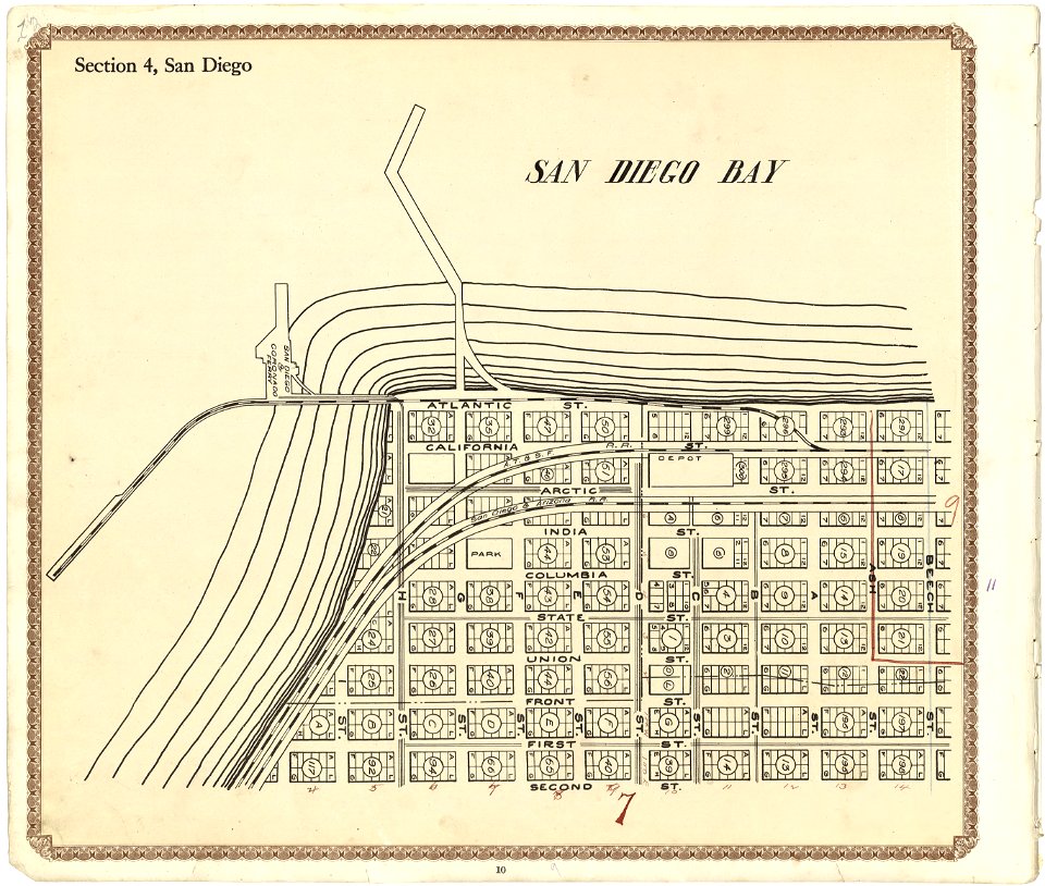
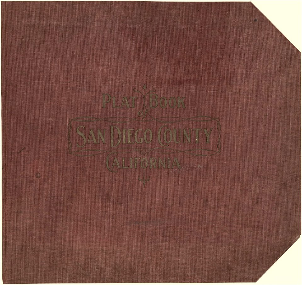
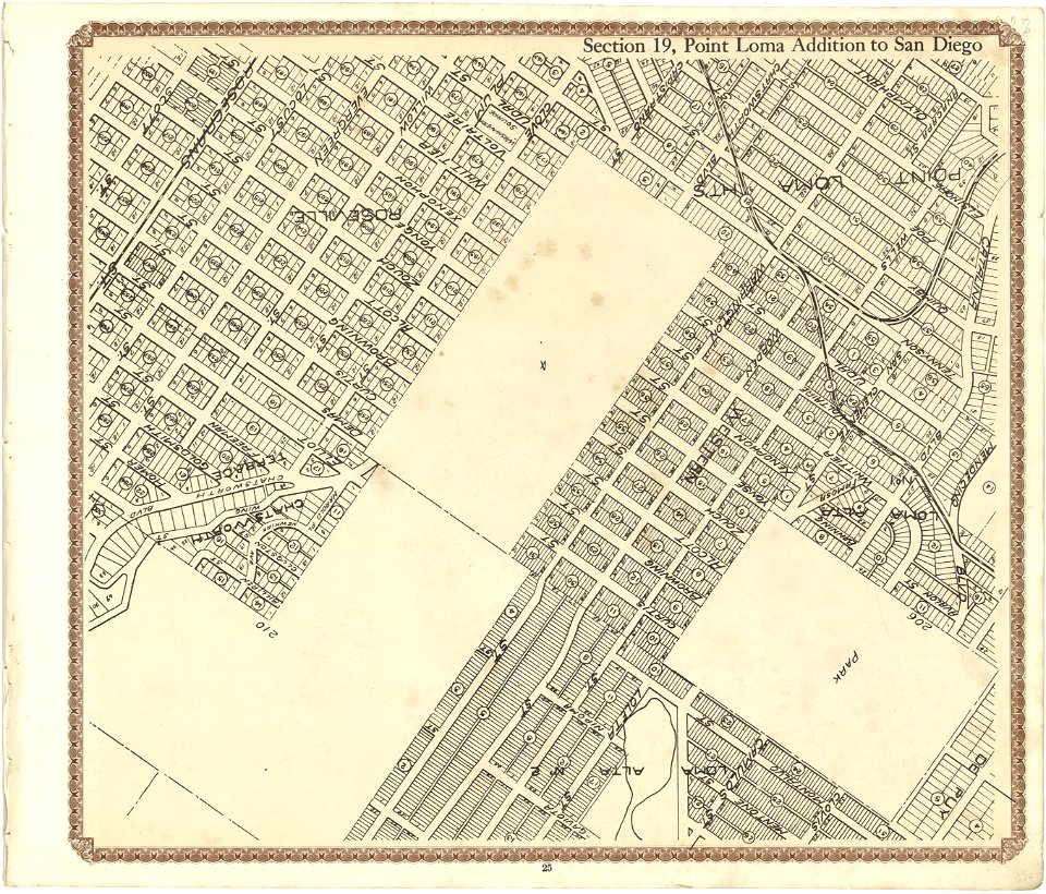
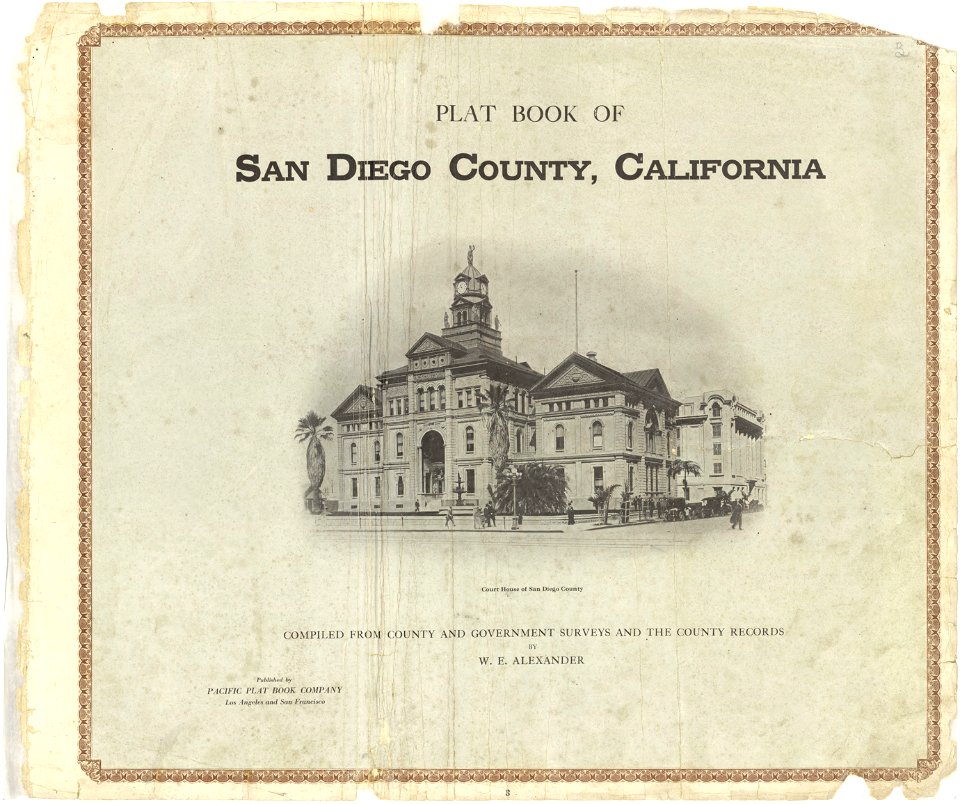
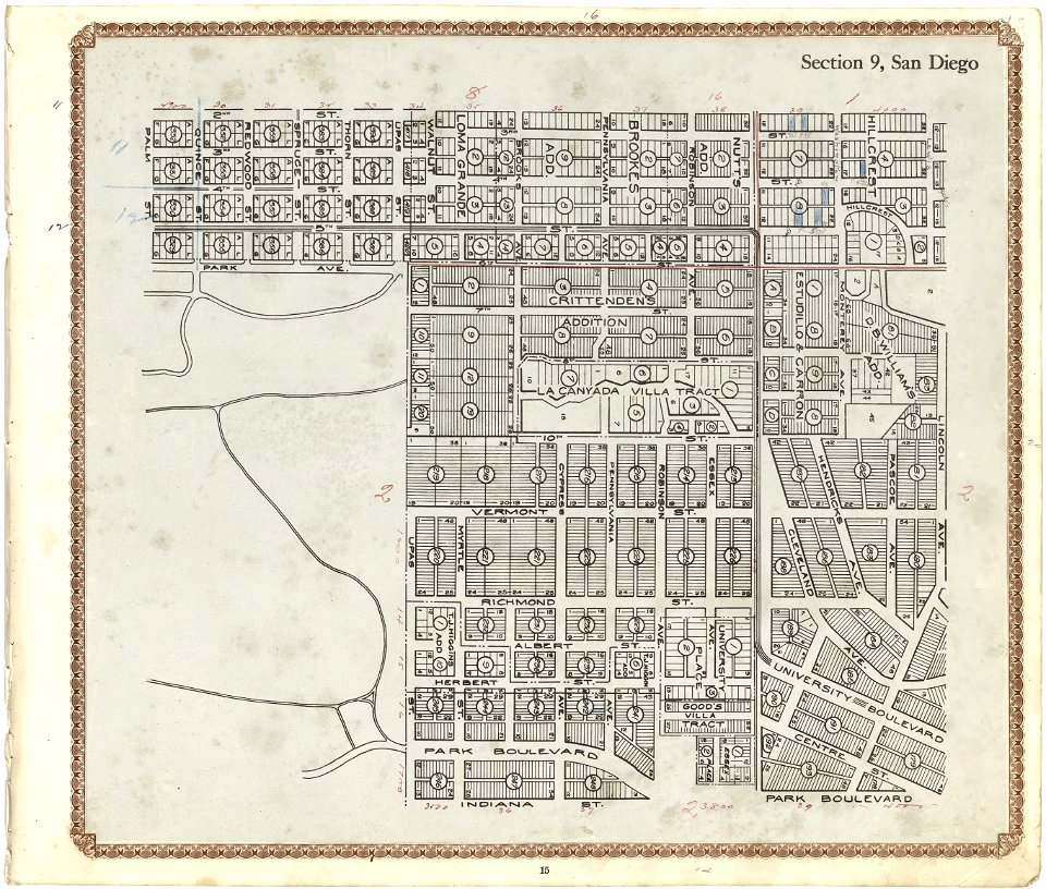
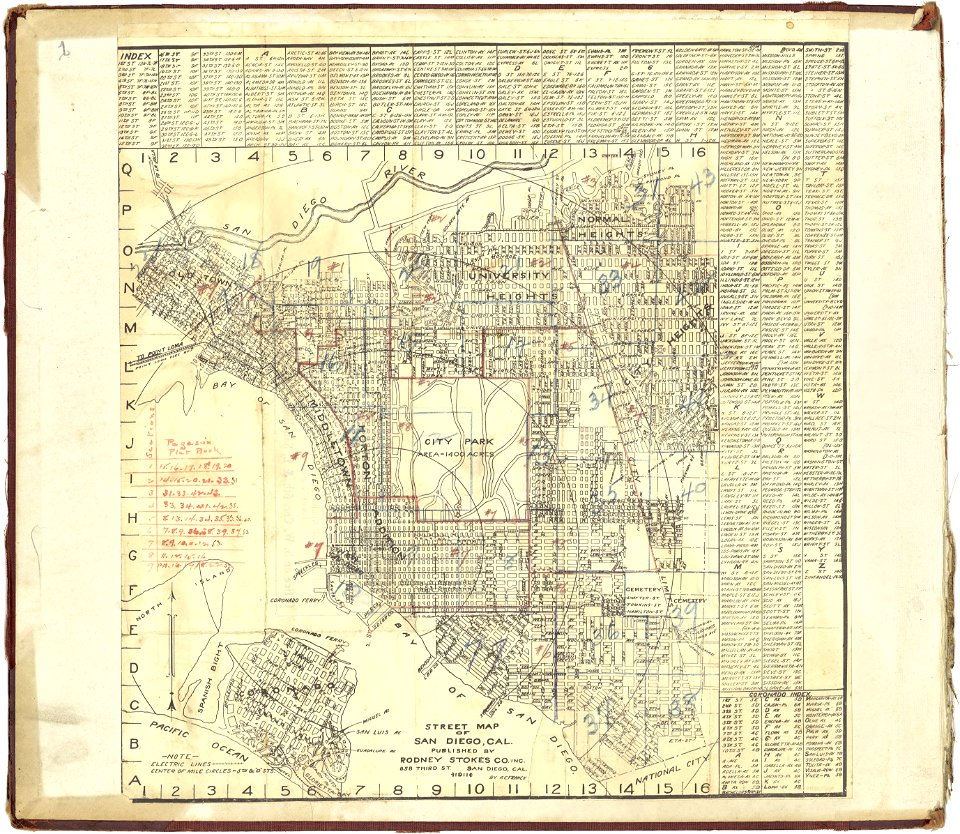
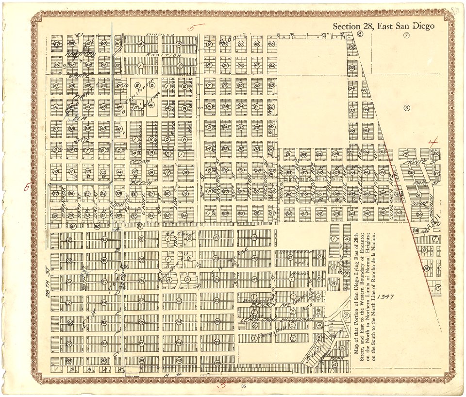
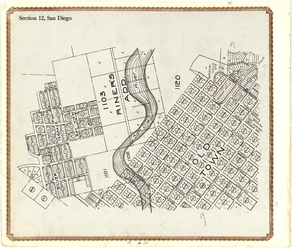
plat book of san diego county
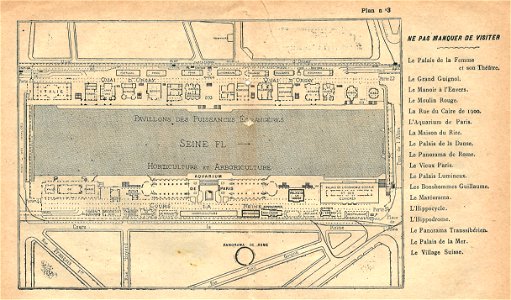
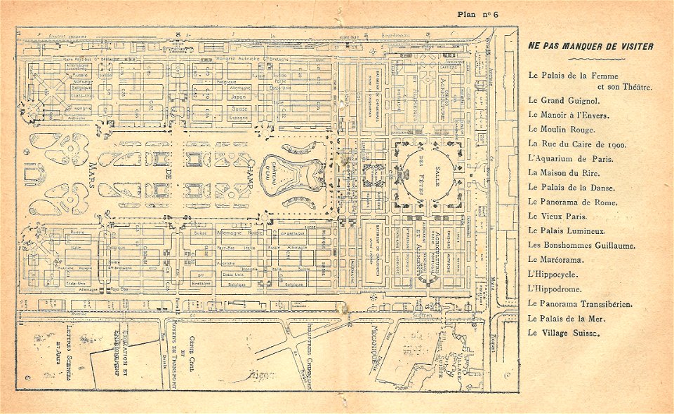
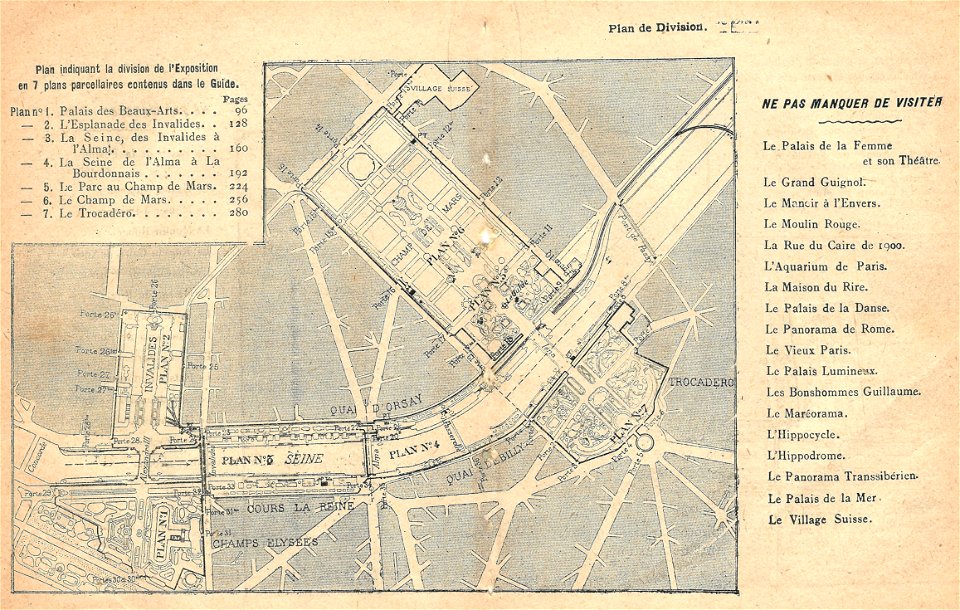
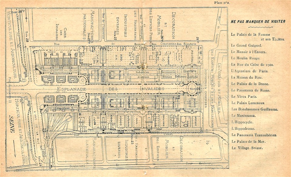
maps of the exposition universelle (1900)
illustrations du catalogue remboursable de l'expo 1900
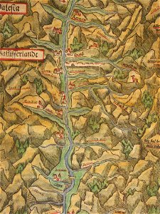
illustrations of cosmographia (münster)
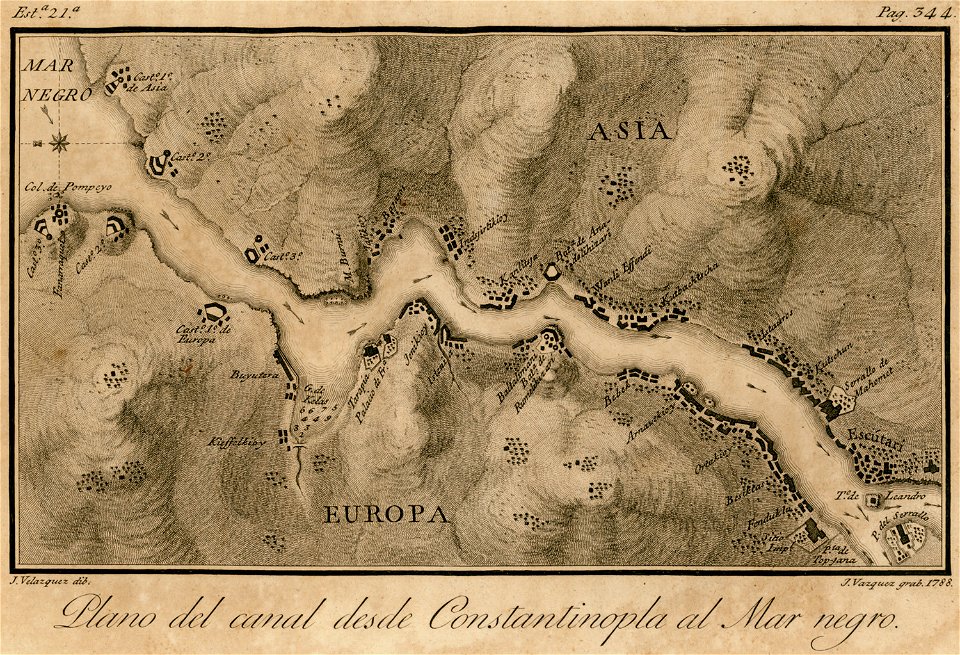
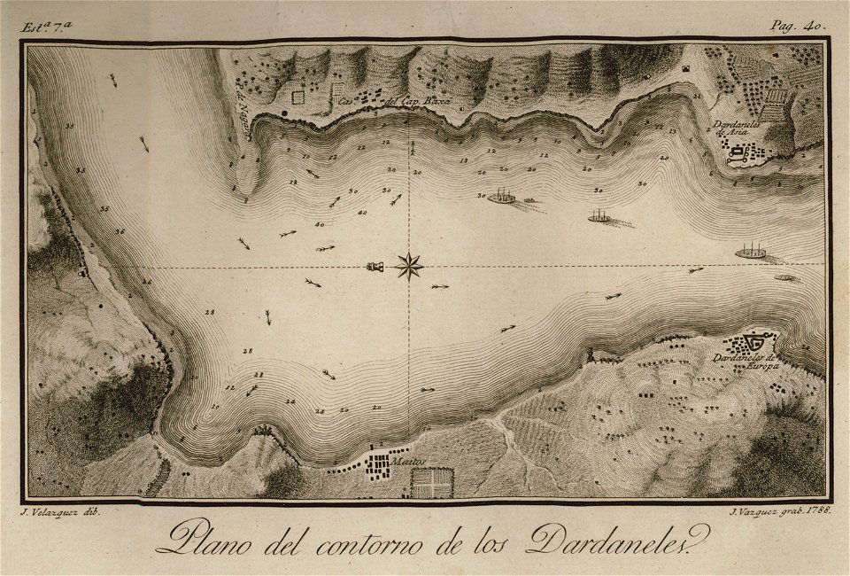
viage á constantinopla
en el año de 1784 (1790)
cosmographia (1628) by sebastian münster
geographical illustrations by coronelli
engravings of topographia bohemiae moraviae et silesiae
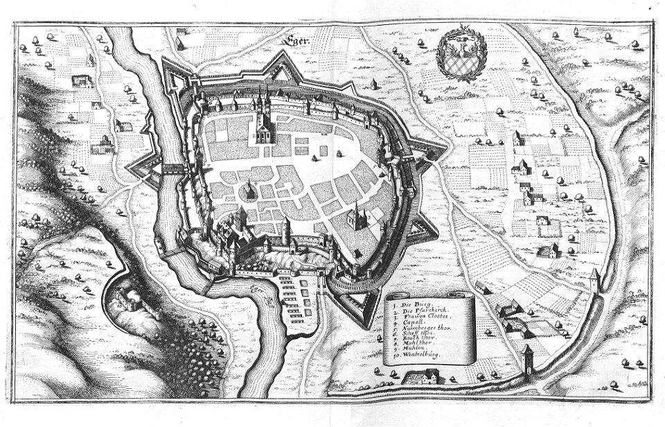
history of cheb
west-indische compagnie
gerard van keulen
illustrations of cosmographia (münster)
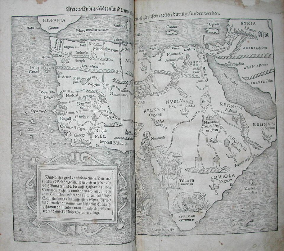
old maps of africa
illustrations of cosmographia (münster)
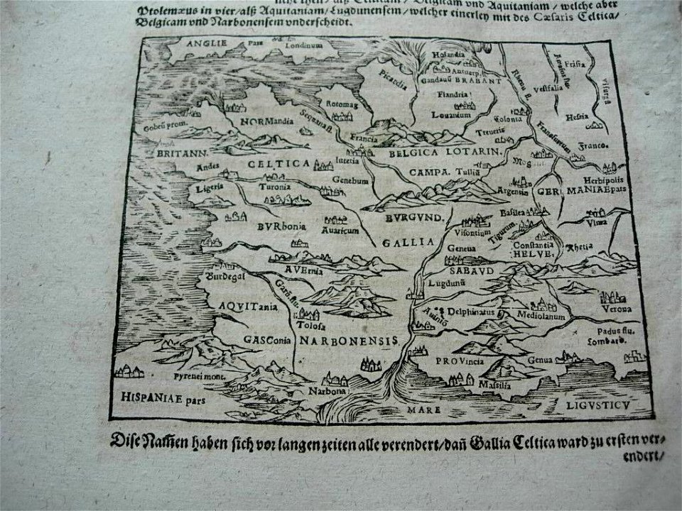
old maps of france
small atlas of the russian empire (1796)
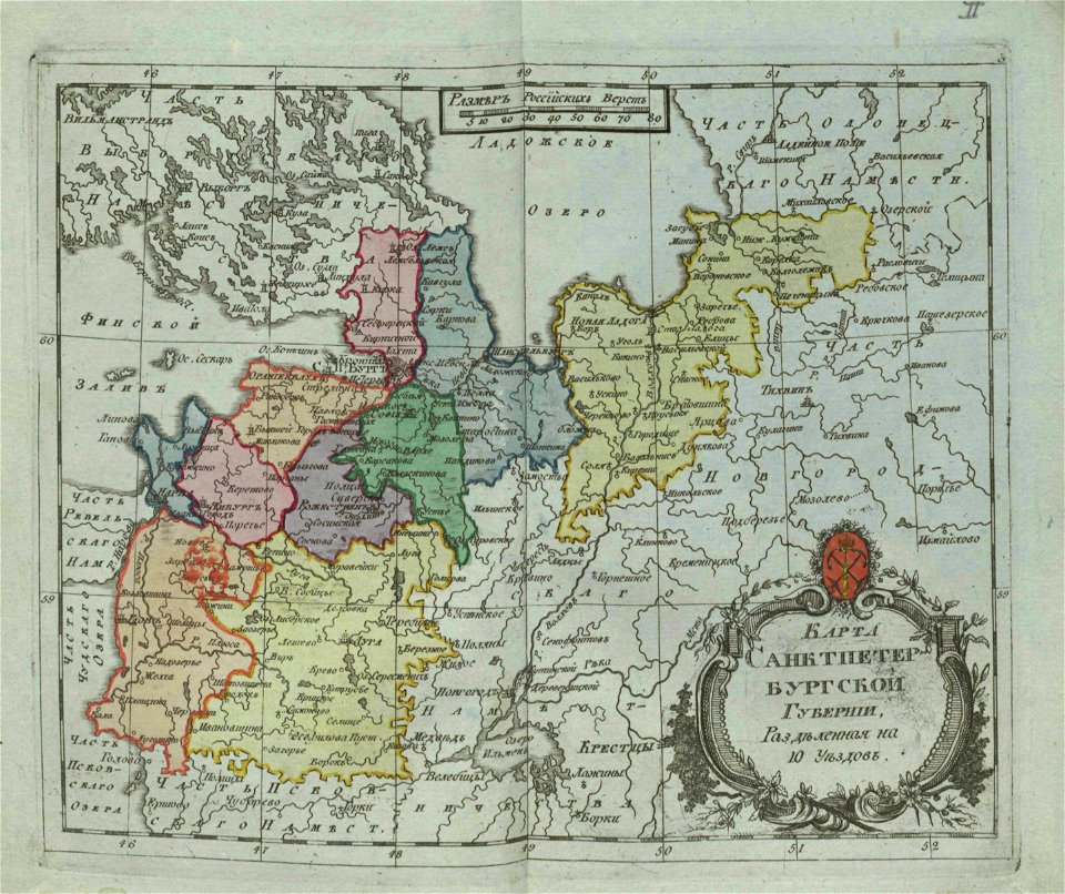
old maps of saint petersburg governorate
collections of limburgs museum
old maps of roermond
small atlas of the russian empire (1792)
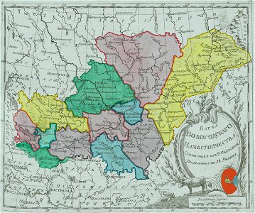
maps of vologda governorate
illustrations of cosmographia (münster)
old maps of switzerland
illustrations of cosmographia (münster)
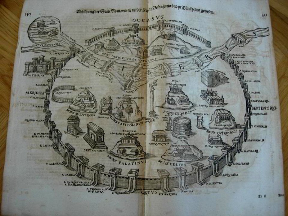
old maps of rome
small atlas of the russian empire. 1796 year
old maps of yaroslavl governorate
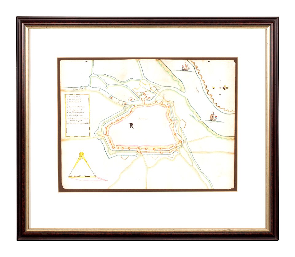
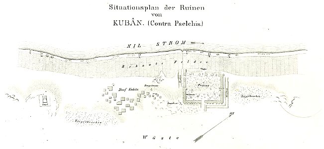
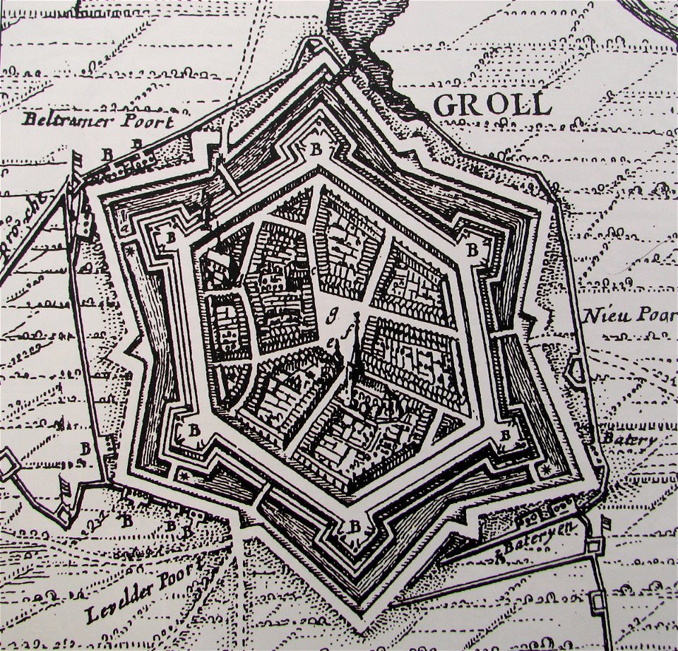
lepsius-projekt - fortifications
lepsius-projekt - maps
volume 8 of le tour du monde
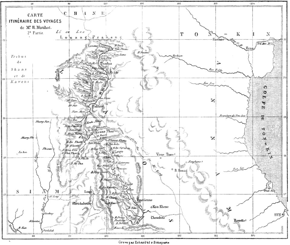
old maps of thailand
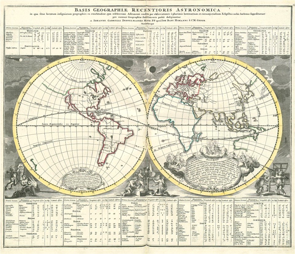
„atlas coelestis in quo mundus spectabilis“ by j.b. doppelmayr
double hemisphere world maps
prints from the peace palace library
old maps of the roman empire
engravings of topographia saxoniae inferioris
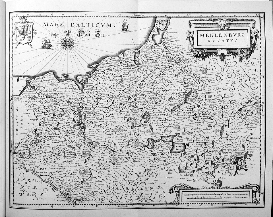
old maps of mecklenburg
claes jansz. visscher (ii)
1627
schauplatz der fünf theile der welt
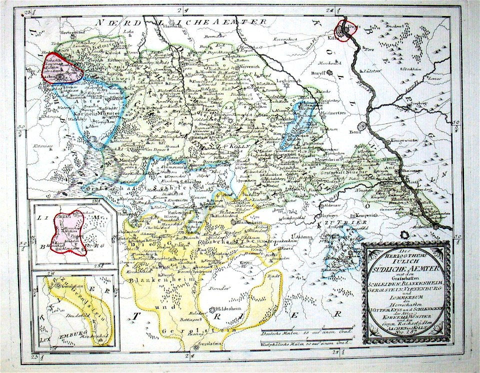
old maps of the duchy of jülich
illustrations du catalogue remboursable de l'expo 1900
maps of the exposition universelle (1900)
illustrations du catalogue remboursable de l'expo 1900
maps of the exposition universelle (1900)
illustrations du catalogue remboursable de l'expo 1900
maps of the exposition universelle (1900)
illustrations du catalogue remboursable de l'expo 1900
maps of the exposition universelle (1900)
illustrations du catalogue remboursable de l'expo 1900
maps of the exposition universelle (1900)
description des principales villes (1690)
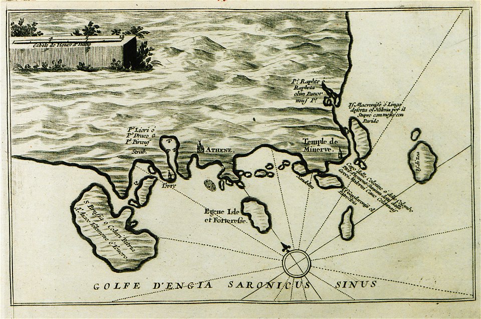
history of aegina
illustrations du catalogue remboursable de l'expo 1900
maps of the exposition universelle (1900)
geographical illustrations by coronelli
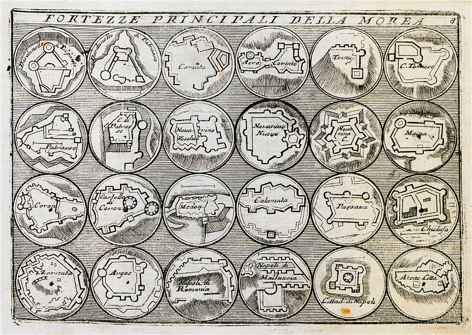
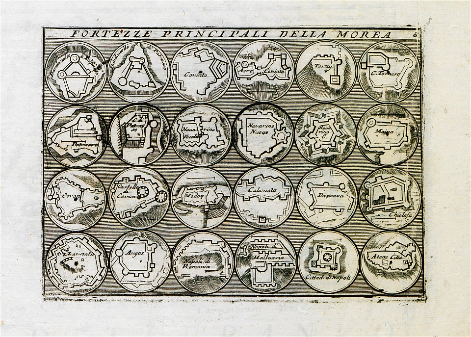
old maps of the peloponnese
geographical illustrations by coronelli
old maps of the peloponnese
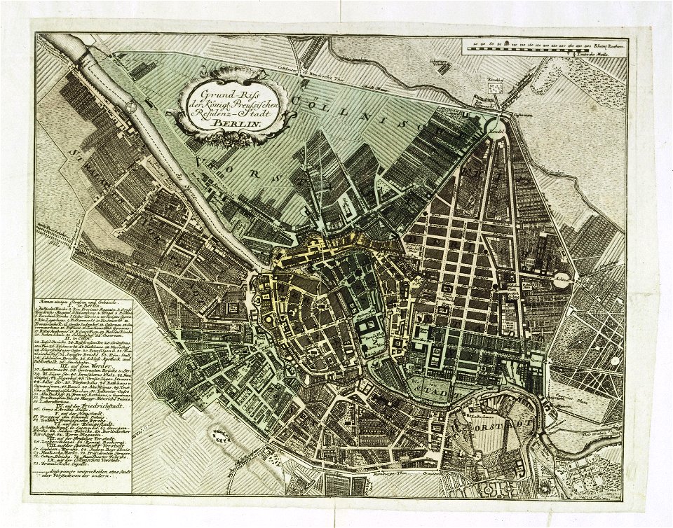
18th-century maps of berlin
johann david schleuen
maps and topographical views by joris hoefnagel
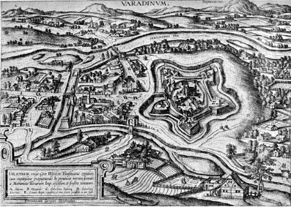
historical images of oradea
people with maps in art
1840 paintings
viage á constantinopla
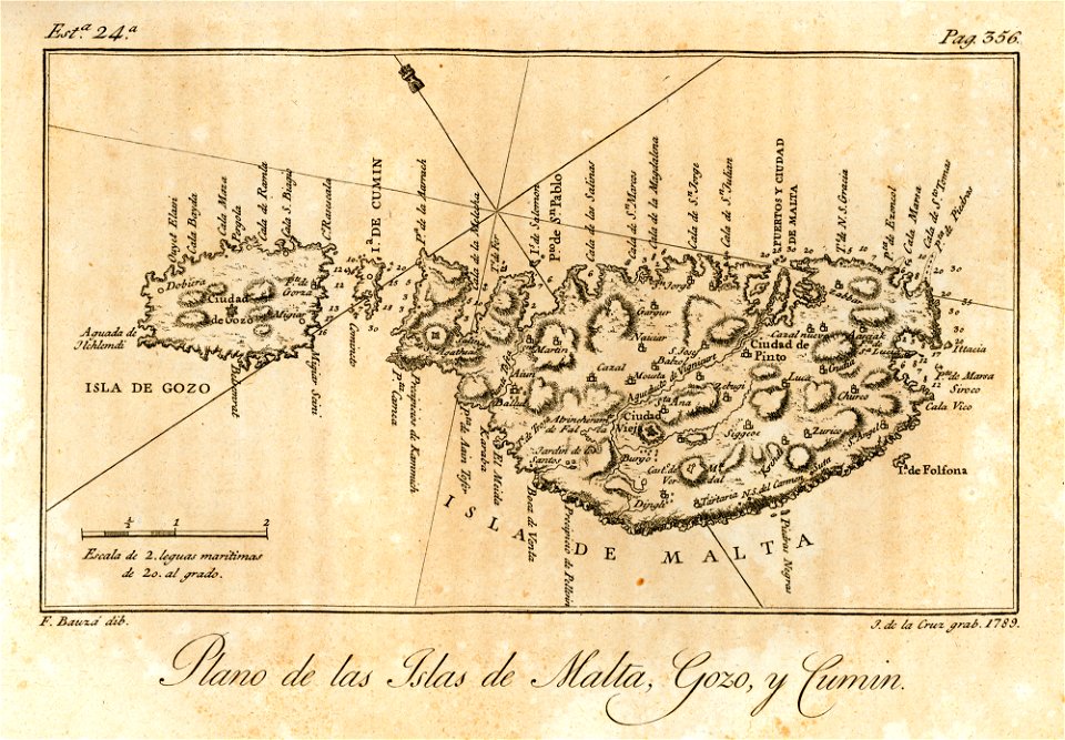
old maps of malta
travels in various countries of europe
asia and africa
maps in the library of congress
california
viage á constantinopla
maps of the bosphorus
maps in the library of congress
california
en el año de 1784 (1790)
viage á constantinopla
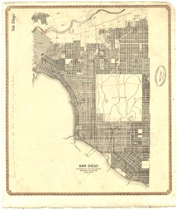
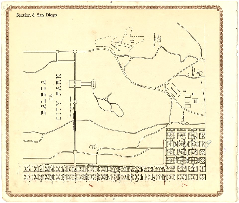
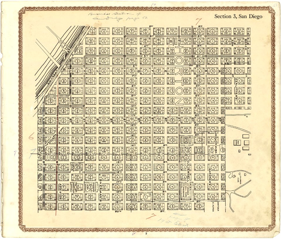
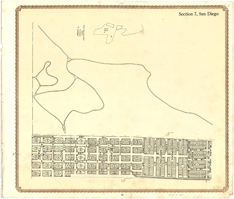
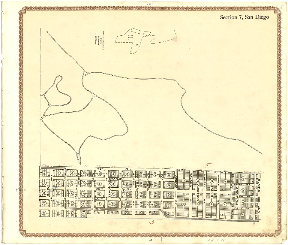
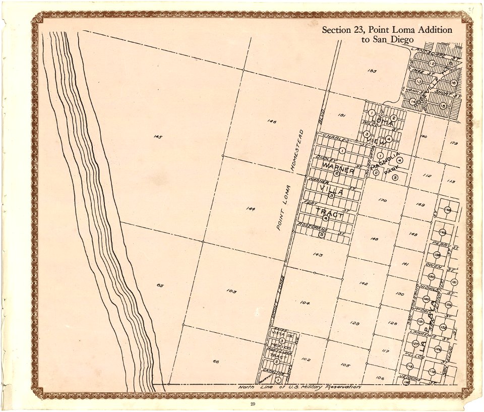
maps in the library of congress
california
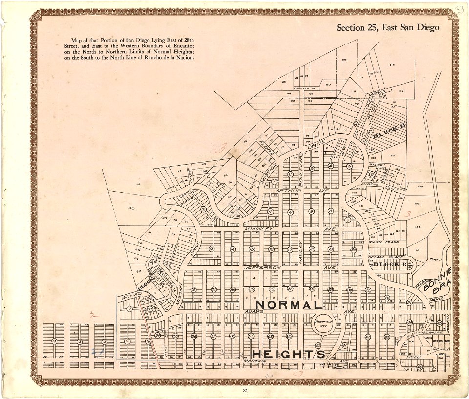
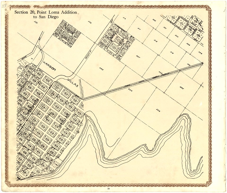
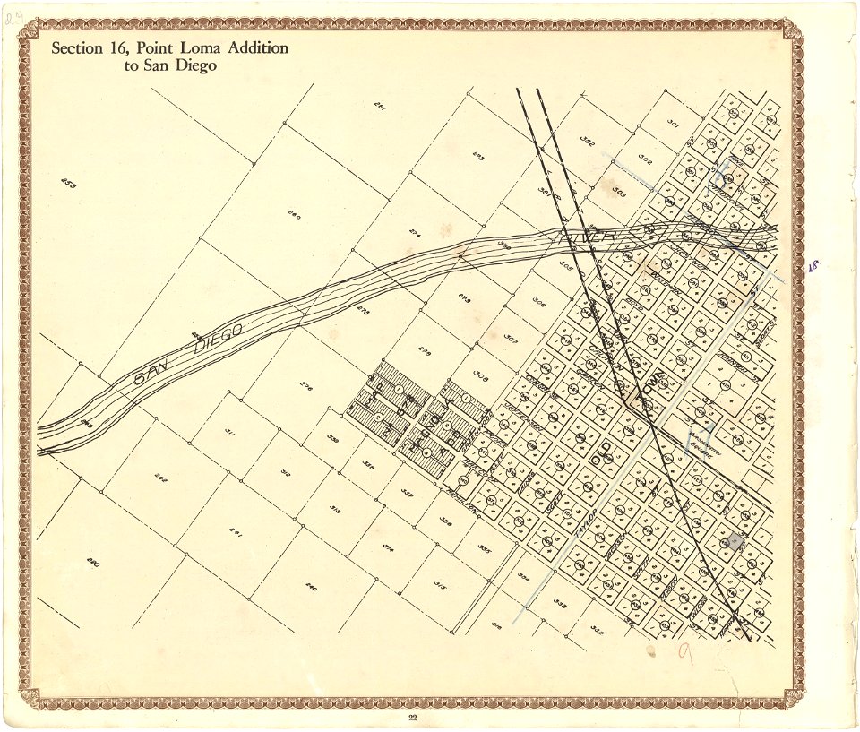
maps in the library of congress
california
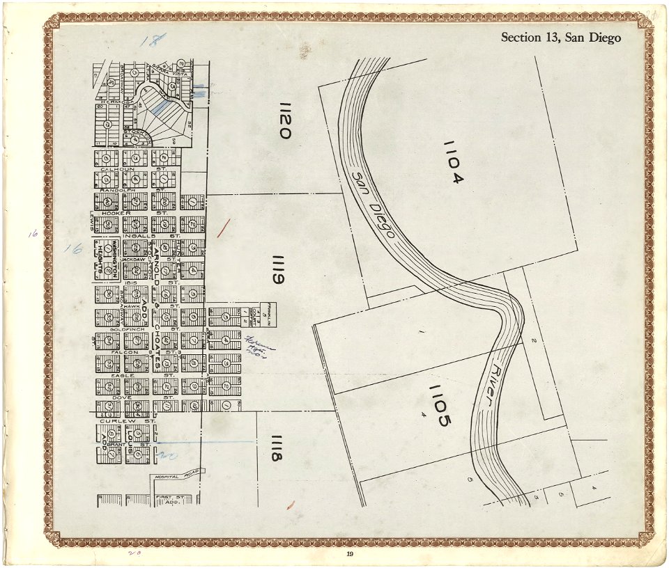
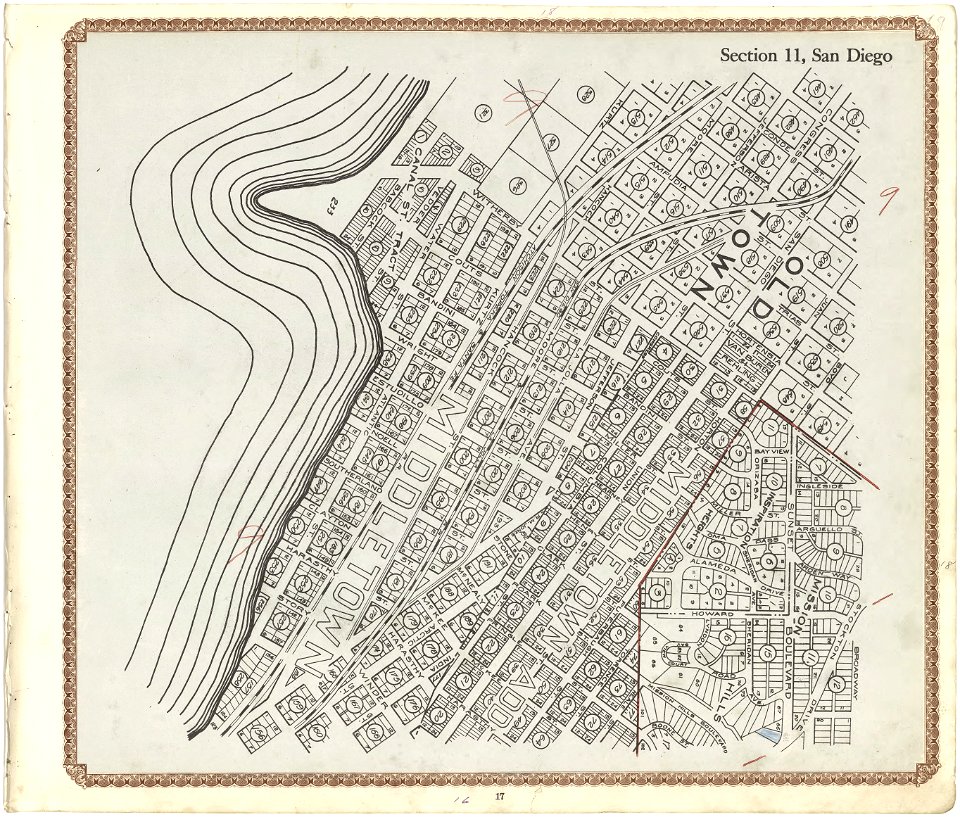
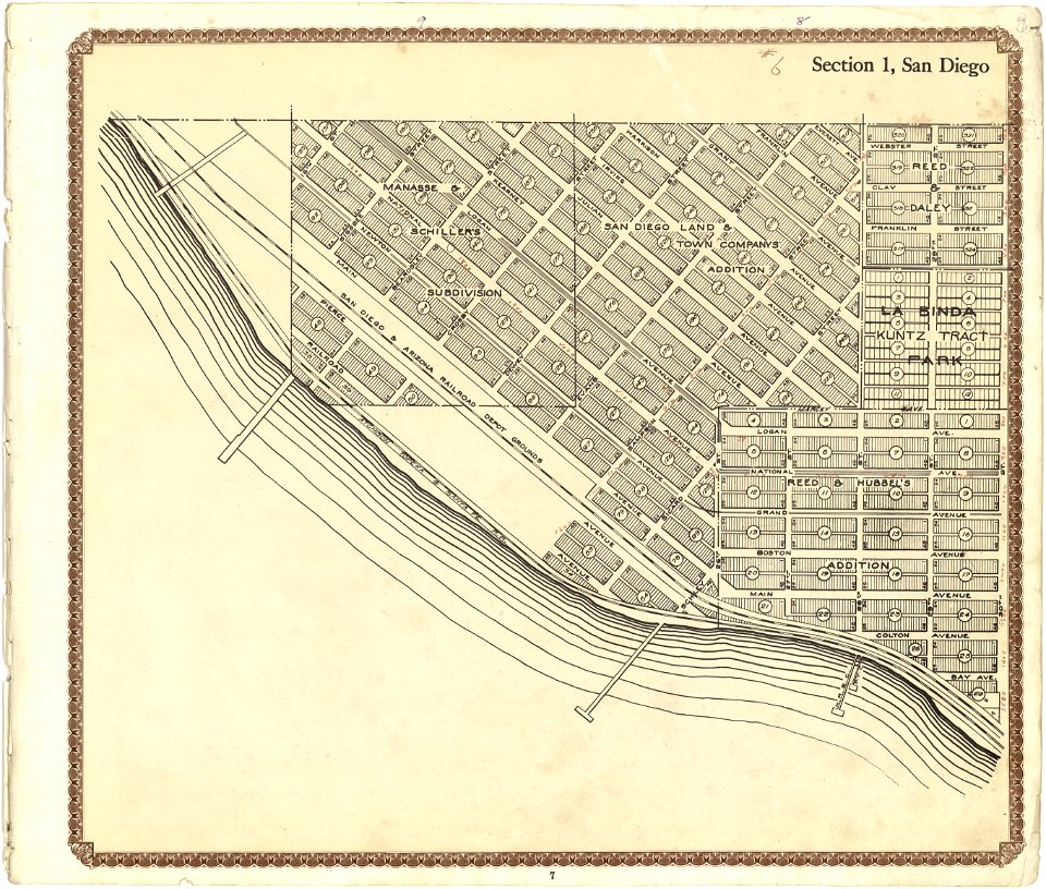
maps in the library of congress
california
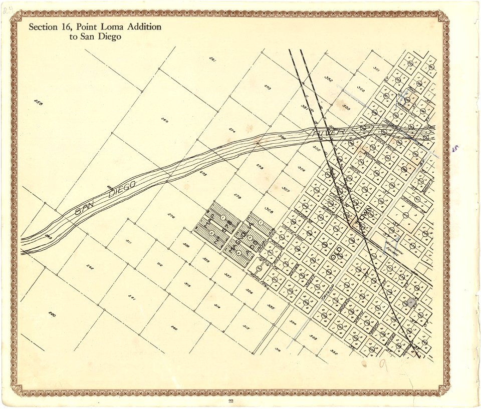
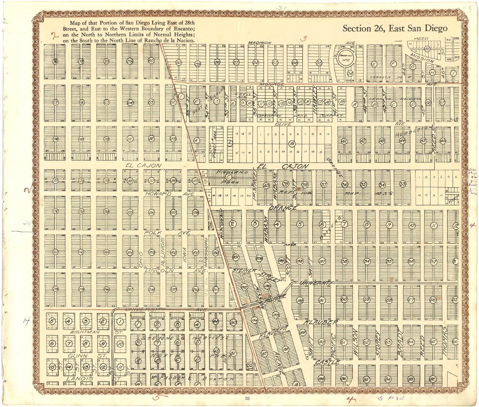
maps in the library of congress
california
maps in the library of congress
california
maps in the library of congress
california
maps in the library of congress
california
maps in the library of congress
california
maps in the library of congress
california
maps in the library of congress
california
maps in the library of congress
california
maps in the library of congress
california
maps in the library of congress
california
maps in the library of congress
california
maps in the library of congress
california
maps in the library of congress
california
maps in the library of congress
california
maps in the library of congress
california
maps in the library of congress
california
maps in the library of congress
california
maps in the library of congress
california
maps in the library of congress
california
maps in the library of congress
california
maps in the library of congress
california
maps in the library of congress
california
maps in the library of congress
california
maps in the library of congress
california
1726
asie
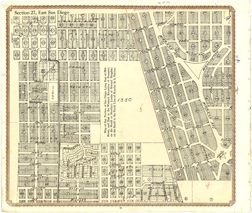
maps in the library of congress
california
maps in the library of congress
california
maps in the library of congress
california
maps in the library of congress
california
maps in the library of congress
california
maps in the library of congress
california
maps in the library of congress
california
maps in the library of congress
california
maps in the library of congress
california
maps in the library of congress
california
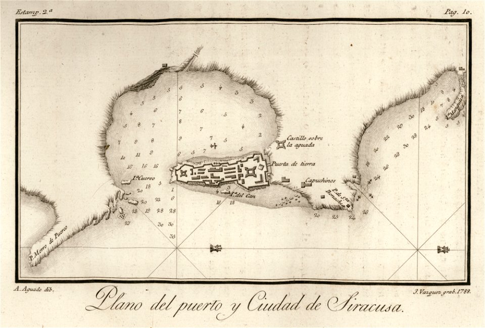
viage á constantinopla
old maps of syracuse
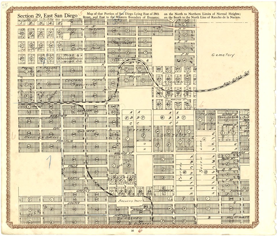
maps in the library of congress
california
maps in the library of congress
california
maps in the library of congress
california
maps in the library of congress
california
maps in the library of congress
california
maps in the library of congress
california
maps in the library of congress
california
maps in the library of congress
california
maps in the library of congress
california
maps in the library of congress
california
maps in the library of congress
california
maps in the library of congress
california
maps in the library of congress
california
maps in the library of congress
california
maps in the library of congress
california
maps in the library of congress
california
maps in the library of congress
california
maps in the library of congress
california
maps in the library of congress
california
maps in the library of congress
california
maps in the library of congress
california
maps in the library of congress
california
monasticon gallicanum
rouen in art
winter and spring on the shores of the mediterranean (1875)
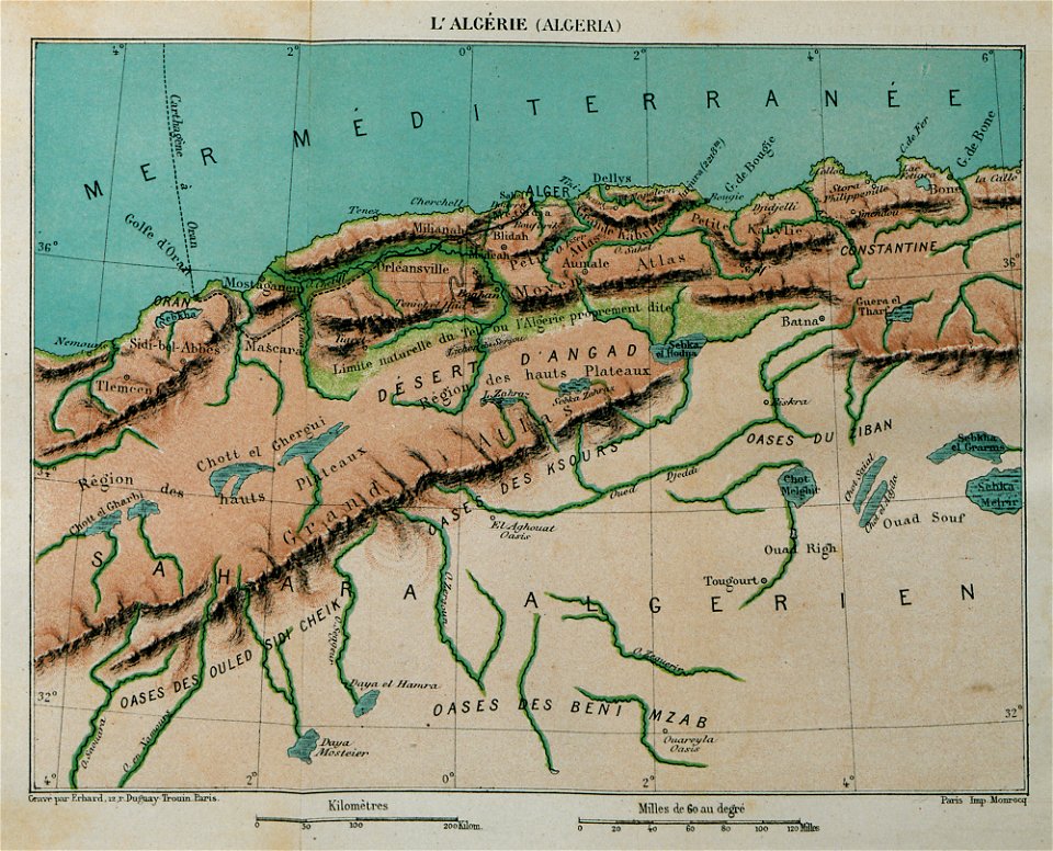
maps of algeria
popular science monthly illustrations/volume 13
1878 maps
popular science monthly illustrations/volume 16
eratosthenes
8501 - 8600 of 33,167
Next page
/ 332